Motivate...
By this point in the course, you've already encountered many different weather observations (temperature dew point, wind, etc.). But, the observations we've learned about so far have something in common: They're collected by a sensor in direct contact with the medium being measured (called in situ measurements). Obviously, such measurements aren't possible over the entire breadth and depth of the atmosphere. We can't have weather stations covering every single point on Earth and throughout the atmosphere!
To help fill the many gaps between our direct measurements, we need to measure the atmosphere from afar, or "remotely." Remote sensing is just that -- taking a measurement without having a sensor in direct contact with the medium being measured. As an example, your body contains both in situ sensors (your skin) and remote sensors (your eyes). You don't have to physically touch a red-hot stove element to know that it is hot. Your eyes can sense the light coming from the heating coil, and you then make an interpretation that the burner must be hot.
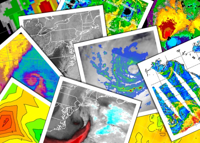
So what types of remote sensing instruments do meteorologists use? I'm sure that you are very familiar with satellite and radar images shown on TV weathercasts and available online or on your favorite weather app. These come from two very important types of remote sensing observations, and we will cover them in depth in this lesson. In addition to radar and common satellite images, many more types of remote sensing data exist, which measure a vast array of atmospheric properties. Although many of these data lie beyond the scope of this course, they all have something in common: All remote sensing data is based on measurements of electromagnetic radiation.

Though the word "radiation" generally carries the tone of dire consequences for much of the public, meteorologists routinely and harmlessly harness part of the broad spectrum of electromagnetic radiation to help them diagnose the present state of the atmosphere and then make predictions. One of the most important things to keep in mind when using remote sensing data is that no perfect, one-size-fits-all remote sensors exist. All remote sensing instruments have limitations! Each type of remote sensing instrument is designed to measure something specific, and often it's not actually what you're actually interested in observing! The measurements taken by remote sensors only become useful when interpreted or converted into the observations that you really desire, but to make this conversion, we have to make assumptions. As in any aspect of life, sometimes assumptions can lead us astray, and ignoring the limitations of remote sensing data is a sure invitation for making mistakes.
Before we get into how to use satellite and radar imagery in weather forecasting, we have to start with the basics of radiation. Though this topic may seem more like physics than meteorology to you, I'd argue that good weather forecasters must understand the underlying science behind satellite and radar imagery in order to effectively and correctly use them. Let's get started!
Lesson Objectives
After completing this lesson, you should be able to:
- explain what is meant by the electromagnetic spectrum and list what portions of the EM spectrum are used in meteorology remote sensing. (2)
- describe the four key laws of radiation: Plank's, Wein's, Stefen-Boltzmann, and Kirchhoff's Laws.(2)
- explain the three fundamental processes that can occur when radiation encounters a medium: transmission, absorption, and scattering.(2)
- list and explain the major classifications of clouds typically observed in the atmosphere, as well as identify these cloud types from photographs.(1)
- distinguish between the two basic types of meteorological satellites.(2)
- explain the process of creating a visible satellite image and correctly interpret visible satellite images.(1,2)
- explain the process of creating an infrared satellite image and correctly interpret infrared satellite images.(1,2)
- explain the process of creating a water vapor satellite image and correctly interpret water vapor satellite images.(1,2)
- explain how radar imagery is created, interpret radar imagery, and explain some meteorological factors that can affect the interpretation of radar imagery.(1,2)
- distinguish between various types of remote sensing imagery, taking care to only interpret attributes of the atmosphere provided by each image type.(1)
(Numbers denote mapping to course objectives)