Technology: Survey123 Connect
Survey123 for ArcGIS is a simple and intuitive form centric field data gathering solution that makes creating, sharing, and analyzing surveys possible in three simple steps: ask questions, get answers, and make better decisions (ESRI definition).
Survey123 uses forms to collect information from people (or provide information to people) and can automatically detect their geographical location, so forms submitted are connected with spatial information. Data gathered from Survey123 can automatically communicate with the ArcGIS platform of technology (Experience builder, ArcGIS pro, ArcGIS Online). Survey123 can provide very powerful and detailed geospatial information from users and can be used to answer an endless amount of questions in numerous disciplines.
It has been used in a variety of disciplines including emergency response and environmental applications.
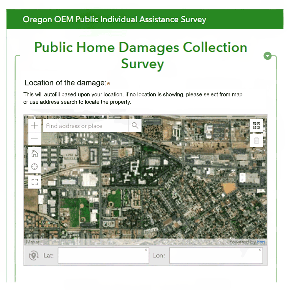
The example in Figure 1 is showing a Survey 123 used to investigate Emergency management in Oregon (Covey, 2024) – see the Public Home Damages Collection Survey below to see the application of Survey123 for emergency management.

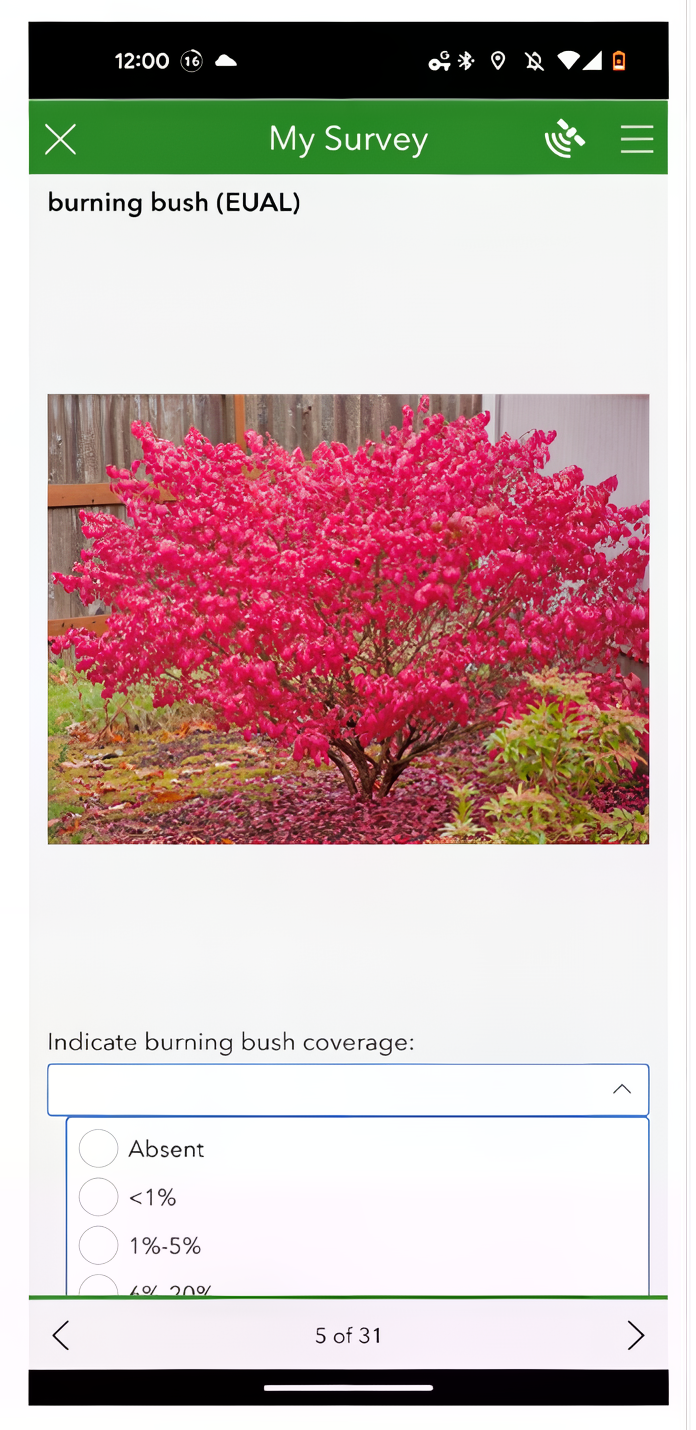
Survey123 has also been used for a variety of environmental applications, including tracking invasive species (Randall, 2022). The Survey123 form in Figure 2 below shows a user form for submitting information about the invasive species “Burning Bush” found in Valley Forge National Historic Park.

Your Turn
This module, you will also be exploring and learning about the capabilities of Survey123 through an ESRI academy tutorial. Navigate to the Module 1 Technology Lesson Discussion post to find the instructions.
References:
Felke, T. P. (2023). ArcGIS Survey123: A Case Study Using Spatial Technology to Examine Food Access. Journal of Technology in Human Services, 42(1), 25–40.
Covey, H. (2021, October). Disaster documentation revisited: the evolving damage assessments of emergency management in Oregon. In Proceedings of the 39th ACM International Conference on Design of Communication (pp. 70-84).
Randall, J., Inglis, N. C., Smart, L., & Vukomanovic, J. (2022). From Meadow to map: Integrating field surveys and interactive visualizations for invasive species management in a national park. ISPRS International Journal of Geo-Information, 11(10), 525.