Plate Tectonics I: Death Valley
Death Valley is Growing Wider
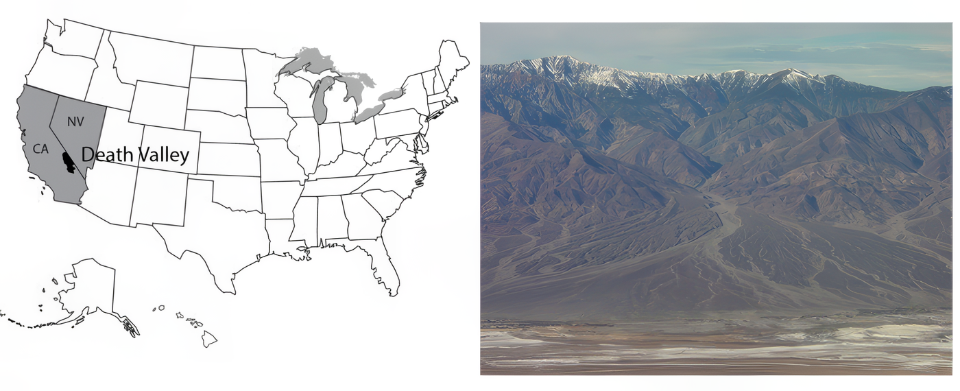
Death Valley National Park of California and adjacent Nevada sits as deep as 282 feet below sea level near Badwater, the lowest land in the western hemisphere. Yet, Telescope Peak in the Panamint Range, 11,049 feet high, is in the park less than 20 miles west of Badwater, and Mt. Whitney, at 14,494 feet the highest peak in the continental United States, is only about 80 miles away.
Death Valley is the hottest, driest place in the United States. The hottest air temperatures ever recorded reliably in the world were reached in 2020 and 2021 in Death Valley. (130oF or 54oC), and 125oF is common. All of the rainfall (about 2 inches or 5 cm per year) evaporates quickly.
Occasionally, water will sit on mud flats for a while (especially in the colder winter) before evaporating to leave salt deposits. Sometimes in winter, the water freezes on top, and strong winds blow the ice, dragging rocks that are frozen in it. The tracks of such rocks, at the Devil’s Race Track (see the great pictures in the vTrip), long puzzled people before the answer was discovered. (And you’ll still find people who argue about the tracks and rocks out on the flat surface—no one has ever watched the rocks when they were moving!) During the ice age, more rain and cooler temperatures than today caused the valley to fill with water, forming Lake Manly, which was about 90 miles (150 km) long and almost 600 feet (200 m) deep at its deepest.
Salts left on mud flats by evaporating waters often contain boron, a rare element that has leached from volcanic rocks nearby and been carried into the valley by streams. Boron is used in soaps, water softeners, pottery glazes, and other things. Mining of the boron-bearing borax salts began in the early 1880s, and they were hauled out by the famous 20-mule teams. Mining was allowed to continue in the park after it was established (as a national monument in 1933, and a national park in 1994), but has ended now. Copper, gold, silver, lead, and talc have been mined in or near the park.
The great depth of Death Valley was not excavated by a steam shovel or an atomic bomb, nor were the rocks ground down by rivers, wind, or glaciers. The bottom of Death Valley was dropped downward, as the sides of the valley were pulled apart, playing their role in the great motions of the planet’s tectonic plates. This animation provides a brief description.
Video: Death Valley Animation (2:24)
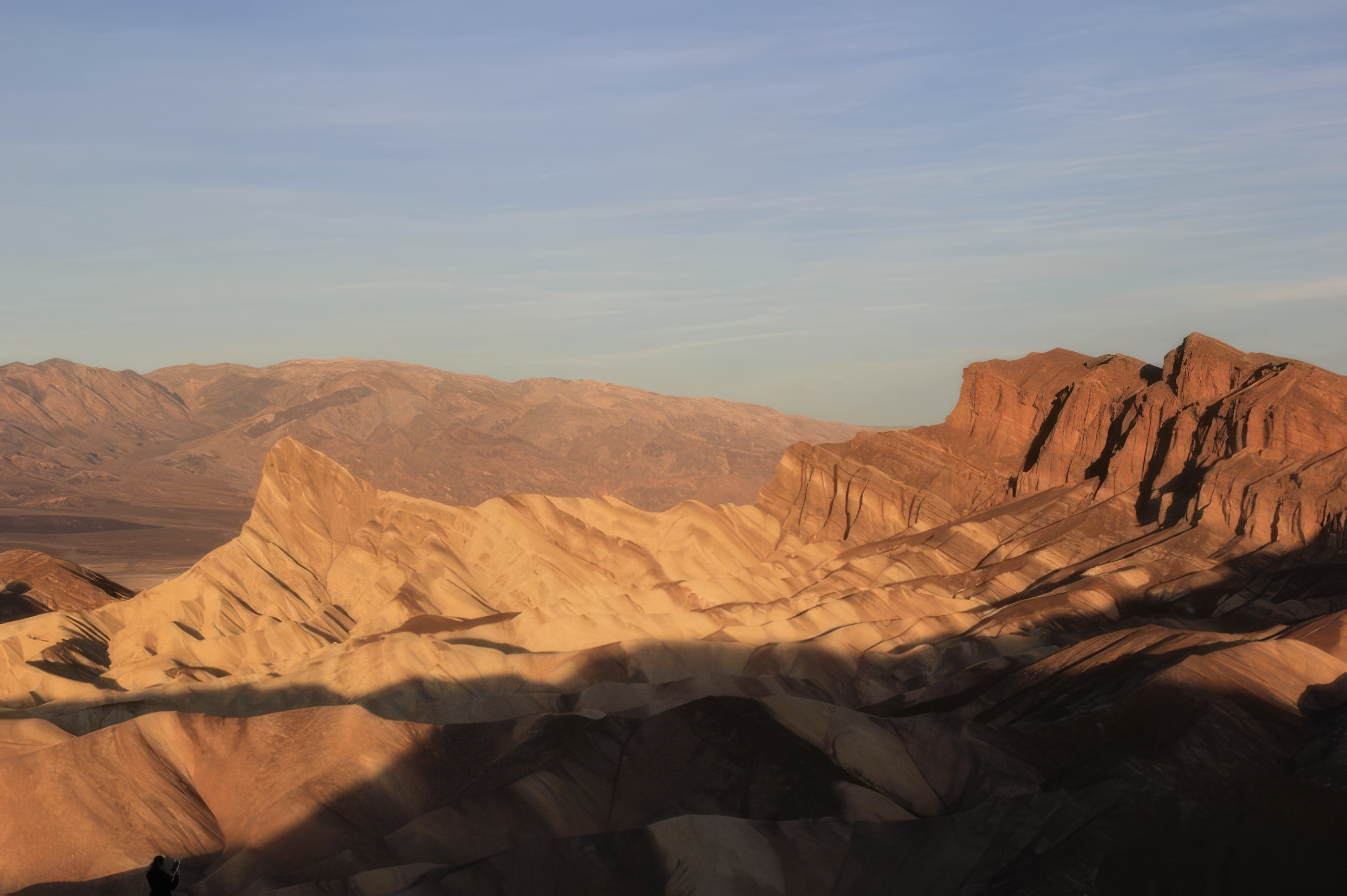
Take a Tour of Death Valley National Park
Take a stroll through one of the lowest pieces of land in the Western Hemisphere (282 feet below sea level), a place that, strangely enough, also happens to be adjacent to the highest point of land in the lower 48 states of the U.S., the 14,494-foot mountain peak of Mt. Whitney. Below are two virtual tours of Death Valley. In the first one, most photos are from a visit by former Penn Stater Peter Fawcett, who has gone on to be a professor at the University of New Mexico. The second is from a visit by former Penn Stater John Fegyveresi, who has gone on to be a professor at Northern Arizona University.
Optional: Want to see more?
- Death Valley National Park(link is external) - Provided by USGS, the 3D version requires red/cyan stereo viewing glasses.
- Plate Tectonic Movement Visualizations(link is external) - Watch the NSF-sponsored video on Plate Boundaries.